8 miles
Private Energy Consultant
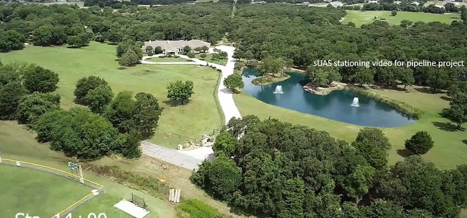
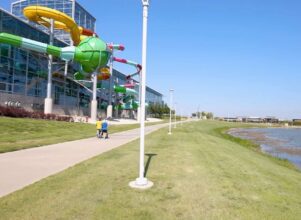
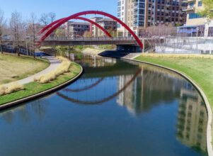
For this 2018 energy transmission line corridor project, Halff provided an array of land surveying and geospatial services to save time and costs. Due to the highly-congested urban area, creating as many efficiencies as possible would be critical to the project’s success. Halff provided mapping products derived from utilizing data fusion, incorporating data collected via UAS, mobile lidar, terrestrial lidar and conventional survey methods. The use of these technologies instead of conventional survey methods alone provided approximately 75 percent of time savings, which in turn decreased the budget by 30 percent. It also created a complete dataset that can be repurposed using data-mining techniques to save time and costs, rather than collecting entirely new data.
Halff Services
Involved
- Geospatial
- Surveying
Let’s Connect
Ready to work with Halff? Simply fill out the form to be directed to the best person at Halff to discuss your interests.


